Import and prepare
Preparing a parcel via TELEPAC
-
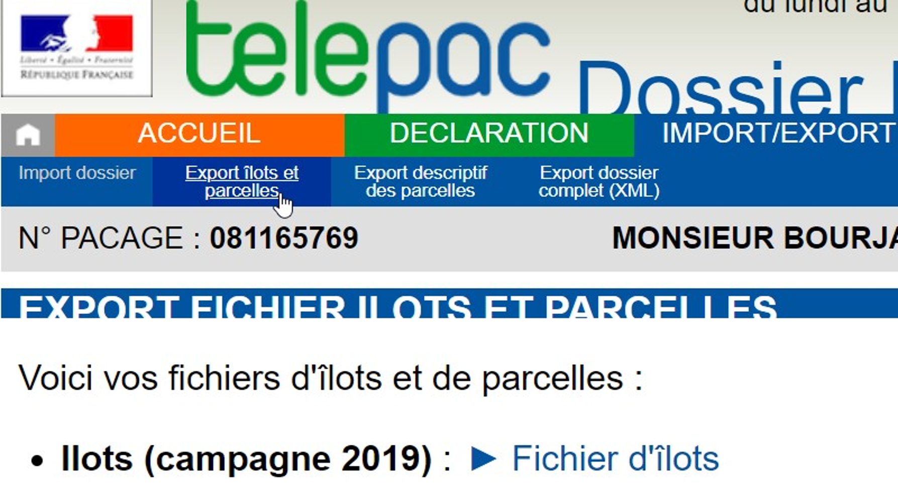
Open your TELEPAC space and click on one of your "CAP YEAR FOLDER" files in the bottom left-hand corner.
-
Open "EXPORT/IMPORT" / "island and plot exports" and select. 4 files will be exported.
Warning
Accessible only to farmers with their PACAGE number and password, but the farmer can extract the .SHP file and give it to the agroforestry advisor.
Bug
only the .shp file should be placed in the truc-ecoaf working folder, the others may cause bugs.
Locate an agricultural parcel via the RPG
Locate the RPG (=Registre Parcellaire Graphique: crop areas declared by farmers, updated annually). For example, the 2022.
Warning
The plots are designed by the farmers. As a result :
-
There is a shortage of agricultural land (not subsidised, for example)
-
These gaps are not the same from one year to the next
-
The drawing can be modified by the farmer without any change on the ground
Download agricultural parcels via IGN
-
Download the compressed file 7-zip (very heavy). Choose a year and a region.
-
The unzipped directory contains a README.pdf, 5 files for the PARCELLES_GRAPHIQUES and 5 for the ILOTS_ANONYMES (islet = set of contiguous plots that are cultivated identically): choose plots or islets as required.
Note
-
The type of projection used in mainland France is Lambert93, centimetre resolution.
-
It may happen that a Proxy prohibits downloading, deactivate it here: Settings / Network and internet / Proxy / Manual proxy configuration
QGIS preparation
1. Choice of plots
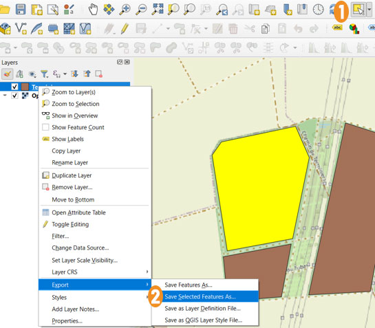
1 Click on the icon to select your plot
2 Right-click on your parcel in Layers, go to Export in the list and click on Save Selected Features As. 5 files are exported.
2. Parcels = polygons drawn in QGIS
-
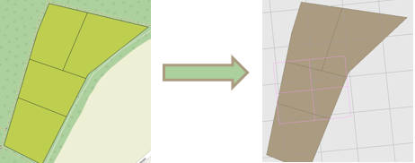
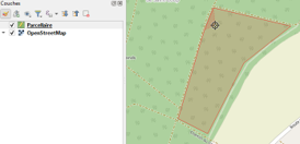
A parcel is represented by a polygon: a set of points in an order which will be used in EcoAF, and which will define the numbers of the border segments. When exported, the points are written clockwise.
-
If a parcel is not declared for the CAP, it is not available in the graphical register or via TELEPAC.
-
In this case, you can draw or redraw a plot entirely, or change the location of certain points and then export it as before.
-
Several polygons can be drawn in a plot, which can be treated differently.
-
An interior zone cannot be excluded via QGIS, but the points can be modified to exclude a zone from the edge for the exclusion of an interior zone via the EcoAF layout.
-
You can also split the parcel into two parcels to be able to perform the exclusion.
-
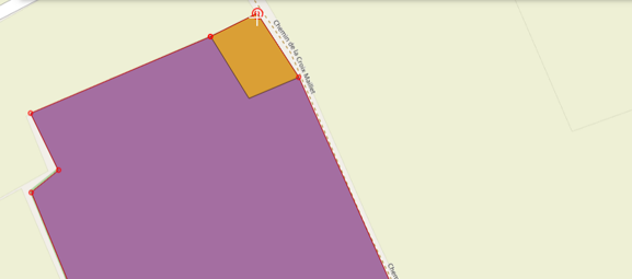
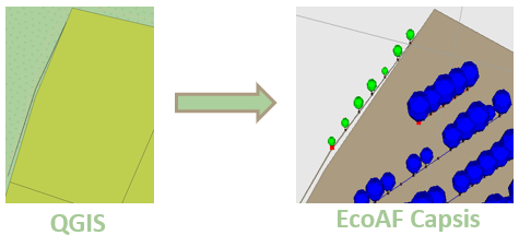
You can artificially add a border extending outside the plot by adding a very narrow round trip of segments; you then need to be careful to select only one of these segments and its direction when choosing the segments for the border hedge!
-
The procedure is detailed for QGIS (the free version), but any GIS editing software is suitable, as long as it outputs in Shapefile format.
Creation of a new plot
Step 1
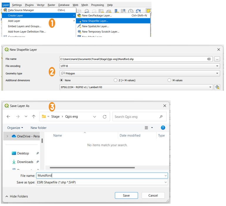
Create a layer that will allow us to draw our plot later on
1 Layer
- Click on Layer,
- Create Layer,
- chooce New Shapefile Layer
2 New Shapefile Layer
- File Name, choose the location of the file by clicking on the button with the 3 dots
- File encoding : UTF-8
- Geométry type : Polygon
- Additional dimensions : None
- and choose the Reference Coordinate System you want.
3 Save Layer As
- Save to chosen location
Step 2
Drawing the plot
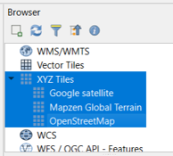
- Choosing your background map
- Editing your plot
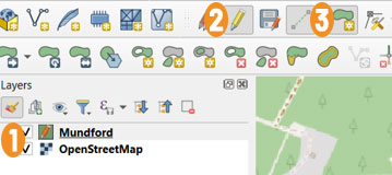
1 Select by clicking once
2 Click on the pencil for Edit mode
3 Click to add an entity
- Left-click to draw the vertices, right-click to validate the plot. An automatic colour is displayed.
Reshaping a plot of land
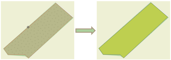
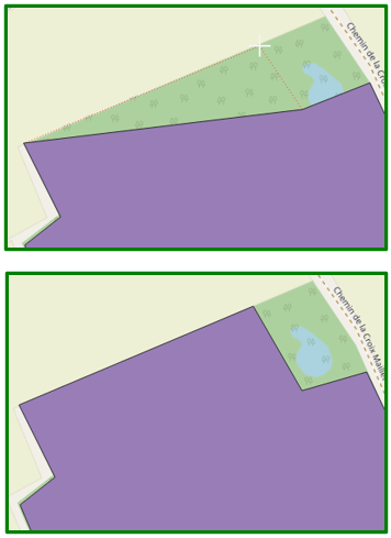
Exclude an area by remodelling
Solution 1
Solution 2
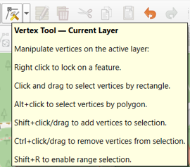
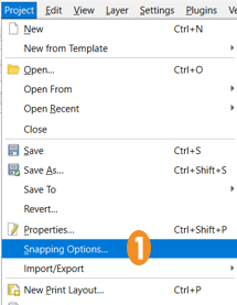
1 Click on Snapping Options (you need to activate the summit tool shown above)
This menu lets you move vertices and create new vertices by copying vertices from other layers.
2 Click on the Magnet icon
3 Click on Vertex
Cutting out parcels
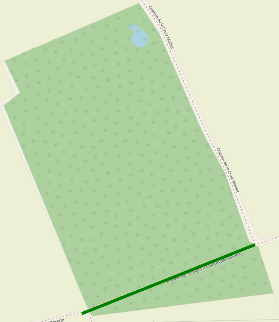
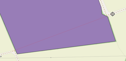
If there is a path, we can divide our plot in two so that in EcoAF we leave a margin between the trees and the border.
-
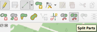
Select Split Parts
-
Cut across both sides. Left-click to confirm
-
Another unzipper may result in truncated files (visible at small size...) ↩
